Contour Drop
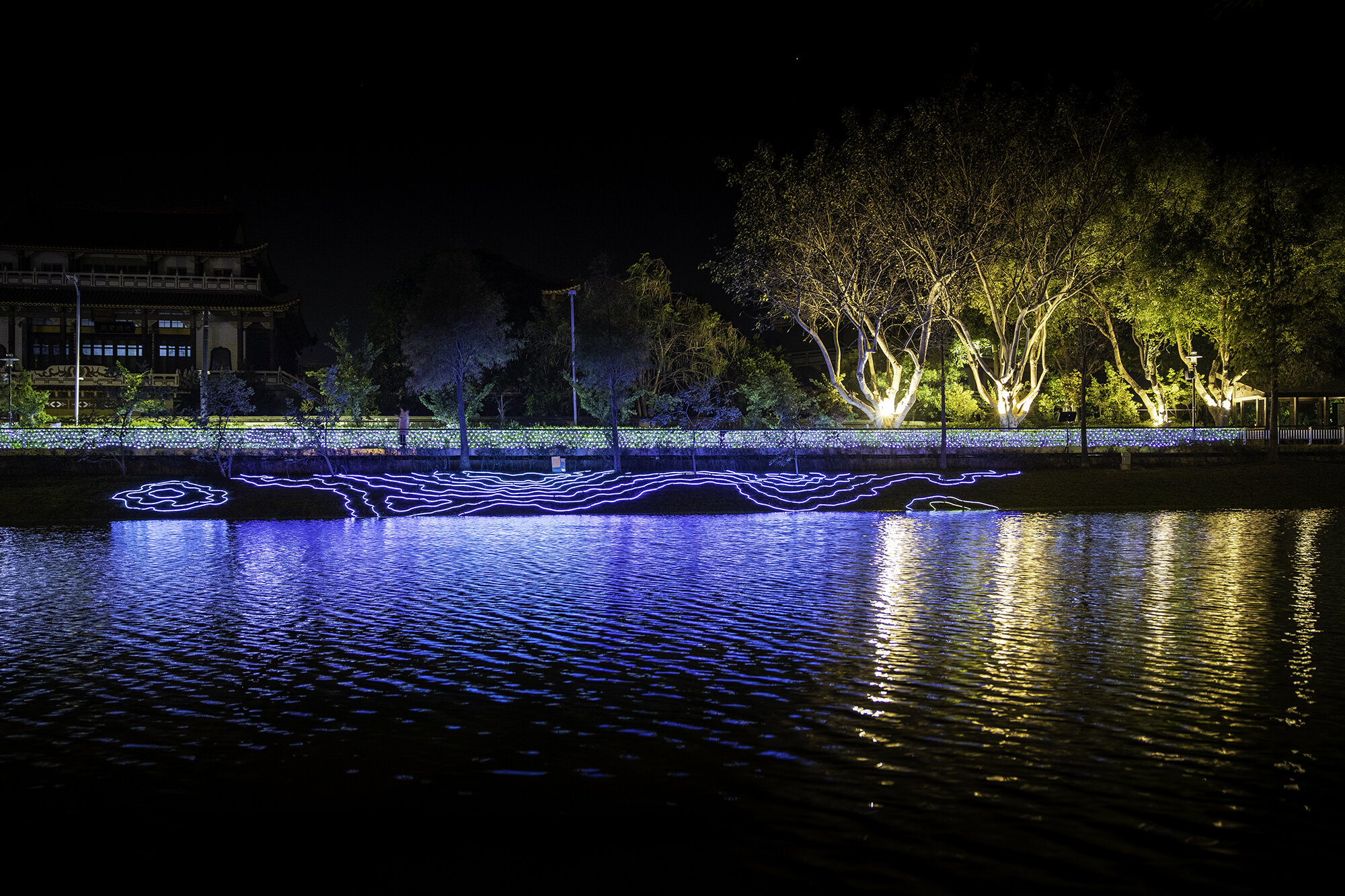
地圖上會將地表高度的各點連成線,透過等高線的分佈來呈現地表起伏,這項作品假想連結地面上高度相同的各點,投影成曲線,以等高線條的分佈,呈現當地地形,從河岸邊緣貼近地面依序升高,並模擬消逝、變遷中的地平線,暗喻海平面上升、海岸線退縮,與氣候變遷的省思
A topographical map is used to capture the physical characteristics of the land. Swirling contour lines connect areas of equal elevation revealing the hills and the valleys, the flat plains and the waterways. Elevations and depths are all relative to each other.
In this artwork, the artist uses the beauty and fragility of the the contour lines to capture the vulnerability of the land to rising sea levels, coastal erosion, global warming and impact of climate change.
In this artwork, the artist uses the beauty and fragility of the the contour lines to capture the vulnerability of the land to rising sea levels, coastal erosion, global warming and impact of climate change.

